ALERT For Snow Showers And Bursts Of Heavy Snow To 10:00 AM Friday. Snow-Blowing Snow Will Reduce Visibility And Cause Travel To Become Hazardous In Locations Along & West-Northwest Of the High Knob Massif-Tennessee Valley Divide. Less Snow And Lower Impacts Are Expected Lee Of The Mountains Into The Great Valley ( As Well As Below 1200-1500 Feet ).
A general 1″ to 3″ of snow are likely between Midnight and 10 AM Friday as very cold air aloft moves over the mountains. This will combine with limited low-level moisture ( a marginal Great Lake event ) and strong WNW-NW winds to develop snow showers and bursts of heavy snow. Due to very cold air aloft, some bursts may also occur leeward of the mountains in localized portions of the Clinch, Powell, Holston river valleys.
Thursday Night Into Mid-Morning Friday
Cloudy with snow showers & flurries developing. Bursts of heavy snow. Colder. Snow accumulations of 1″-3″ along the upslope side of the mountains, with less than 1″ leeward of the mountains and at elevations below 1200-1500 feet in elevation. WNW-NW winds 10-25 mph, with higher gusts. Temps varying from low-mid 10s at the highest elevations to mid-upper 20s. Wind chills in the single digits and 10s, except below zero ( especially in gusts ) at the highest elevations. Rime formation in highest elevations.
Mid-Morning Friday Through Friday Afternoon
Snow showers & flurries ending. Skies becoming partly cloudy. Cold. W-WNW winds 10-20 mph, with higher gusts. Temperatures varying from upper 10s to lower 20s in upper elevations to the upper 20s to lower 30s. Wind chills in the single digits and 10s, except below zero in stronger gusts at highest elevations.
Friday Night Into Saturday Morning
Mostly clear. Cold. Winds becoming SSW-SW at 5-15 mph, with higher gusts, along middle-upper elevation mountain ridges. Light valley winds. Temperatures in the 10s & 20s, varying from single digits to around 10 degrees within upper elevation valleys to readings rising overnight into morning on highest mountain ridges ( to around 32 F ).
Saturday Afternoon
Increasing clouds with lowering cloud bases over time. Virga forming aloft with a chance for flurries to light snow developing late, especially along and southwest of the High Knob Massif & Tennessee Valley Divide. Windy & cold. SSW-SW winds 15-25 mph, with higher gusts, at elevations below 2700 feet. SW winds 20-30 mph, with higher gusts, along mountain ridges above 2700 feet. Temperatures varying from around freezing at highest elevations to upper 30s to middle 40s, dropping with onset of precipitation by late. Wind chills in the 10s and 20s.
Saturday Evening Into Sunday Morning
Chance of evening snow ( especially along-southwest of the High Knob Massif-Tennessee Valley Divide ) or mix giving way to rain. Freezing rain possible in some valleys. SSW-WSW winds 10-20 mph, with higher gusts along middle-upper elevation ridges, decreasing into morning. Temps mainly from low-mid 30s to around 40 degrees.
**The potential for a prolonged, harsh period of winter conditions is being monitored for the January 4-6 period, and beyond in time, with formation of high latitude blocking and a cross-polar flow from Siberia into North America. Stay tuned for updates on this major shift into significant winter conditions in January 2017.
Weather Discussion ( Taste Of Winter )
Friday Snow Report ( December 30, 2016 )
Snow accumulations were widespread across Wise and Dickenson counties into Friday morning. The most intense period came with a monster snow band that developed along the Virginia-Kentucky border toward 11:00 AM to Midnight, with near zero visibility at its peak and rapid sticking to all objects ( including roads ).
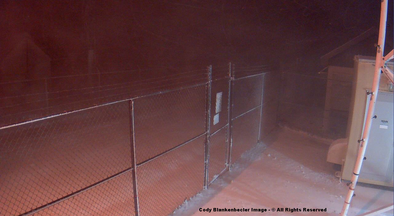
High Knob Massif Webcam – University Of Virginia’s College At Wise
It was a wicked night in the High Knob Massif. Joe & Darlene Fields measured 1″ of snow depth in High Chaparral by 10:30 to 11:00 PM, before the intense snow band hit. Wind gusts of 30-40+ mph took wind chills down into single digits above and locally below zero.
Eagle Knob of High Knob Massif – Wind Driven Snow at 12:16 AM December 30
Much of the snow in this view ( above ) fell horizontally or even upward in direction ( as you can tell by looking closely at lines made by larger flakes ). WNW-NW winds of 20 to 40+ mph, of course, caused these conditions along with relatively dry, low water content snow.
Friday Morning Snow Reports
Head of Powell Valley: 1.5″
( 1-2″ AM Depths )
Nora 4 SSE NWS: 1.6″
( 2″ AM Depth )
Clintwood 1 W NWS: 2.0″
( 2″ AM Depth )
UVA-Wise NWS: 2.5″
( 2″ AM Depth )
Norton Water Plant: 2.5″
( 2″ AM Depth )
High Chaparral: 3.0″
( 3″ AM Depth )
Eagle Knob: 3.5″
*( Variable Depths )
*Best estimate of snowfall is 3.0″ to 4.0″ with highly variable depths from near bare ground to 6″ or more in places.
A simply gorgeous sunset Thursday was observed above chilly, gusty conditions in advance of an approaching upper air disturbance featuring very cold air aloft.
High Knob Massif Webcam – University Of Virginia’s College At Wise
Virga and a few flurries-sprinkles falling beneath puffy clouds signals what is upcoming by Midnight to 10 AM Friday as very cold air aloft ( 0 to -30 F below in the 10,000 to 18,000 foot zone ) moves across the mountains to help trigger snow showers, flurries, and some bursts of heavy snow ( squalls ).
High Knob Massif Webcam – University Of Virginia’s College At Wise
Accumulations will primarily be limited to upslope zones with respect to W-NW flow. The high resolution NAM 4 KM Model has the right idea but is skewed ( as almost always ) with placement and amounts due to terrain recognition problems and a flawed climatology database.
NAM 4 KM Model Total Snowfall Forecast
Great Lake connected flow will be marginal at best across the southern Appalachians. The central Appalachians; however, from central-northern West Virginia northeastward, will be within true Lake moisture for a while as a Nor’easter rapidly intensifies along the New England Coast into Friday ( the negative tilted upper air trough hindering Lake moisture advection farther south into the southern Appalachians in this case ).
European 51-Member Ensemble MEAN 500 MB Height Anomalies: Days 6-10
Looking ahead, following more wet and mild conditions to open up the New Year in early January, a radical change in the pattern is looking increasingly likely by the January 4-6 period and beyond in time. High-latitude blocking centers near Greenland and Alaska will force cross-polar flow from snow laden Siberia into North America and the USA.
European 51-Member Ensemble MEAN 850 MB TEMP Anomalies: Days 6-10
The potential for a harsh and prolonged period of winter is being monitored as this pattern takes shape, with perhaps a 2-3 week window of particularly bad conditions. Stay tuned for later updates.